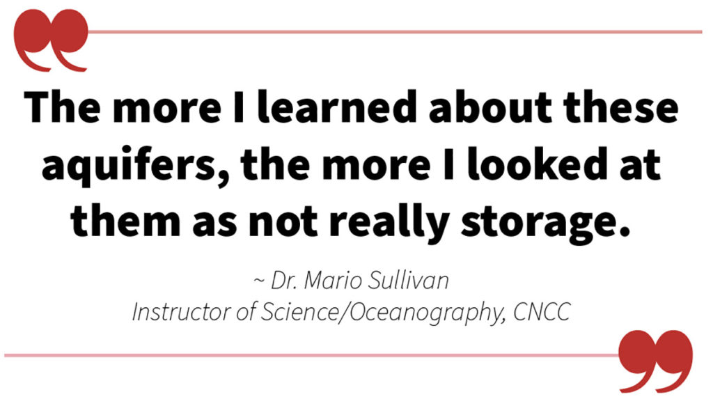
RBC I “The more I learned about these aquifers, the more I looked at them as not really storage” Said Dr. Mario Sullivan, Instructor of Science/Oceanography at Colorado Northwestern Community College in Rangely.
He spoke with members of the White River Alliance last week, detailing known geologic hydrologic information on the Powell Park Aquifer (just on the other side of the river from Meeker) and the Agency Park aquifer (west of Meeker after Highway 13 cuts through the Grand Hogback).
Referencing data collected in 1985 by the United States Geological Survey (USGS), Sullivan explained why the area’s aquifers might be better described as “a geological deposit that happens to hold water” than traditional aquifers.
Powell/Agency park aquifers differ from “classic aquifers” in a few ways, mostly that they don’t have a “confining bed” or specific recharge point. They are more like underground rivers than underground lakes, demonstrated in their high rates of “transmissibility” which describes how freely water flows through them. Sullivan said the authors of the 1985 study noted that the aquifers were some of the most transmissive they had ever seen.
All this information can be used to explain what happens in June and July when agricultural water users start pulling up to 250 cubic feet per second (CFS) from the river for irrigation purposes.
Data plotting “flow variability” in the White River seem to indicate that the Middle Reach and Lower Reach are “hydrologically coupled.” When the river below South Fork drops in June, the flows in the middle and lower reaches closely mirror each other. Irrigation water, particularly if it’s flood irrigation, takes water out of the river, but “recharges” the aquifer, eventually making its way back into the river as “return flow.”
Meeker Trustee Travis Day who also drills water wells in the area, assisted in answering questions about hydraulic/hydrological features and how they actually affect residents on the ground. According to Day, the effects of aquifer recharging via irrigation can be observed in places where fields used to get flood irrigated, such as subdivisions on the mesa. “Wells up there used to pump year round when they flood irrigated the fields,” said Day, adding “they dried up the fields and now the wells up there, they’ll go dry 33 days after they shut water off.”
Dr. Bob Dorsett asked questions about the information presented as well, describing the correlation between the middle and lower reaches of the river as “counter-intuitive.”
“It seems to me that would imply a kind of a brittle ground water system, otherwise wouldn’t you expect the groundwater reservoir to act as a kind of a buffer to absorb excess runoff in the surface water, and vice versa recharge the river when the river drops?” asked Dorsett.
Sullivan re-iterated that the aquifer system does provide at least some buffer, but explained that water does flow through it fairly quickly. “I look at it as a pile of rocks and gravel that got deposited a long time ago and it just so happens that they cut some ditches through it and that recharges it,” said Sullivan. He also said that a few old stories suggest the river did not flow year round in the middle-reach around the turn of the century, before irrigation ditches were put in place.
By LUCAS TURNER | [email protected]om