

RANGELY — Conrad Stanley, program director of natural resources, process technology and geographic information systems (GIS) at Colorado Northwestern Community College, has for years sought ever-increasing GPS accuracy to enhance certain elements of the GIS program.
With contractors and surveyors increasing reliance upon GPS instruments for cadastral mapping and site development, major metropolitan areas such as Chicago have fully embraced these systems. However, rural areas and most academic institutions, because of limited funding, have not…
CNCC to build new CORS base station on Rangely campus
More in Rangely:
-
 Airstream club visits the TANK in Rangely
July 1, 2026
Airstream club visits the TANK in Rangely
July 1, 2026
-
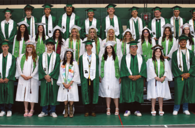 Panther Power: Class of 2026
May 20, 2026
Panther Power: Class of 2026
May 20, 2026
-
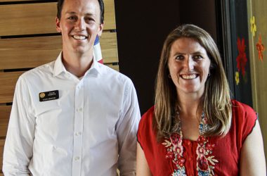 Legislative Town Halls with Roberts, Lukens planned for Thursday, May 21
May 15, 2026
Legislative Town Halls with Roberts, Lukens planned for Thursday, May 21
May 15, 2026